2020 Weather Spotting Presentation
-
Safety first: This information for the public is crucial. There were slideshows and fact sheets about tornados, floods, and thunderstorms.
-
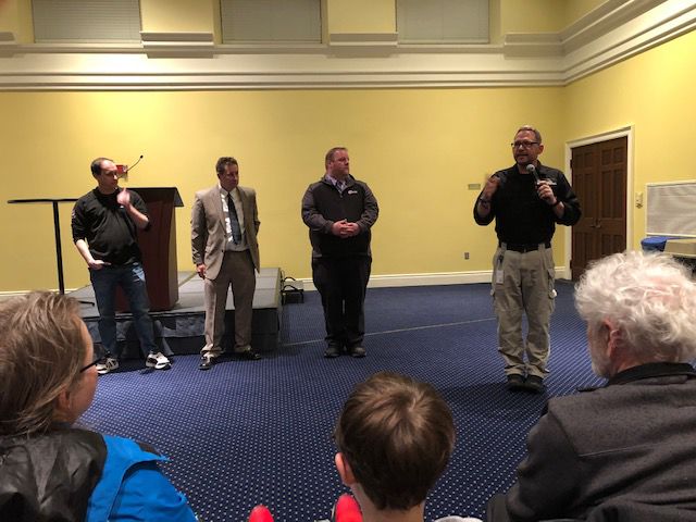
Public figures such as WIBW members including Shawn Wheat and Jeremy Goodwin, and Emergency Management, Dustin Nichols present their admiration and determination of informing and protecting the public.
-
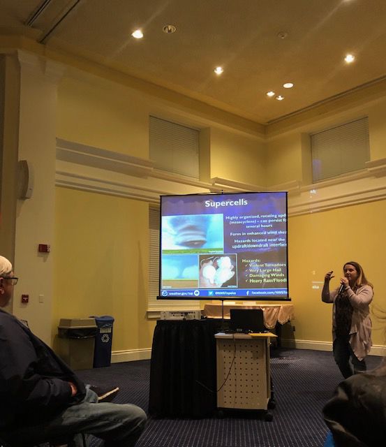
People of the community tuning into messages about public safety, learning about Oreo-sized hail and dogs being able to detect severities of tornados.


Semi-trucks are being lifted into the air like toys, as a tornado rips through your home, your city. How do you prepare? What do you do?
For many, what they know is to go underground and watch the weather on a phone or laptop. What if you could do more during a weather emergency?
WIBW, along with the National Weather Service, and Emergency Management of Shawnee County, invited students and people in the community to the Bradbury Thompson Alumni Center to learn about what storms look like, what to look for, and how to respond.
Chief Meteorologist Jeremy Goodwin wants to understand how weather affects everyone’s livelihood. With this intention, a dynamic relationship forms between civilians, emergency services, and local weather professionals.
“The radar is 8-10 thousand feet above the ground,” said Goodwin. “I can’t tell you what’s going on at two thousand feet. I can estimate it, but a trained storm spotter can take the information I have, which is partial, and make it whole. Then we can give a real message to people as to what the danger is, or if they are fine going about their day.”
Calling themselves the “ground-truth”, Director of Emergency Management for Shawnee County, Dustin “Dusty” Nichols states that they are part of a collective movement that gathers information and creates situational awareness for the community.
“We are the part that actually goes out into the public and talks to groups,” said Nichols. “We tailor that message of preparedness to certain groups. Anything that is a risk or hazard to our community, we develop training for the general public. Our job is risk-reduction.”
Nichols believes that people do not understand the level of detail put in to manage disasters such as the coronavirus, active shooters and ground-breaking weather warnings. Turning a surprise event into a planned event.
“When we’re full up and running in an incident,” said Nichols. “We’re like 911 on steroids. The coronavirus, the plans, we set the format and get all the planning pieces in line. The operation right now is education and supply.”
The educational aspect of learning about weather is understanding that Kansas has four seasons that are all capable of bringing excessive water, wind, fire and ice. Which then correlates to flooding, flying objects, roaring/uncontrollable flames and slippery roads. All of these are capable of destruction and damage. But another scarier aspect to observe: no one can control the weather.
“That kind of goes into my philosophy in doing this job,” said Nichols. “You can’t control everything. So, whatever happens to you, make the best of it. This is one of those jobs when the worst happens, be prepared for that too. It is mental preparedness.”
Step 1 to preparing: Be alert at all times. Reporting severe weather includes reporting what you see, what you feel, and where you’re at. Report hail, funnel clouds and flash flooding. This training service teaches students and people of the community to look at storms on a radar, while also teaching how to follow correct spotter safety tips.
Step 2 to preparing: Have an escape route. When a storm is coming, go indoors. For tornadoes, go downstairs and keep putting distance between yourself and the debris, like a mattress or a table. For floods, find higher ground.
Step 3: Learn, become educated, according to sophomore English education major, Shannon Byrne. Byrne attends this meeting not just for the extra credit, but to learn about weather.
“I appreciated the fact that she had fun images of dogs,” said Byrne. “I can appreciate the fact that everyone could understand the material. I feel like it’s an indication of how to read radar. I know now of which clouds to kind of look for, to indicate what type of storm is going to be in my area, and how severe it’s going to be.”
Edited by Adam White, Diana Martinez-Ponce, Jason Morrison
Your donation will support the student journalists of Washburn University. Your contribution will allow us to purchase equipment and cover our annual website hosting costs.